Hong Kong's Best Hikes With a View (That Aren't Dragon's Back)
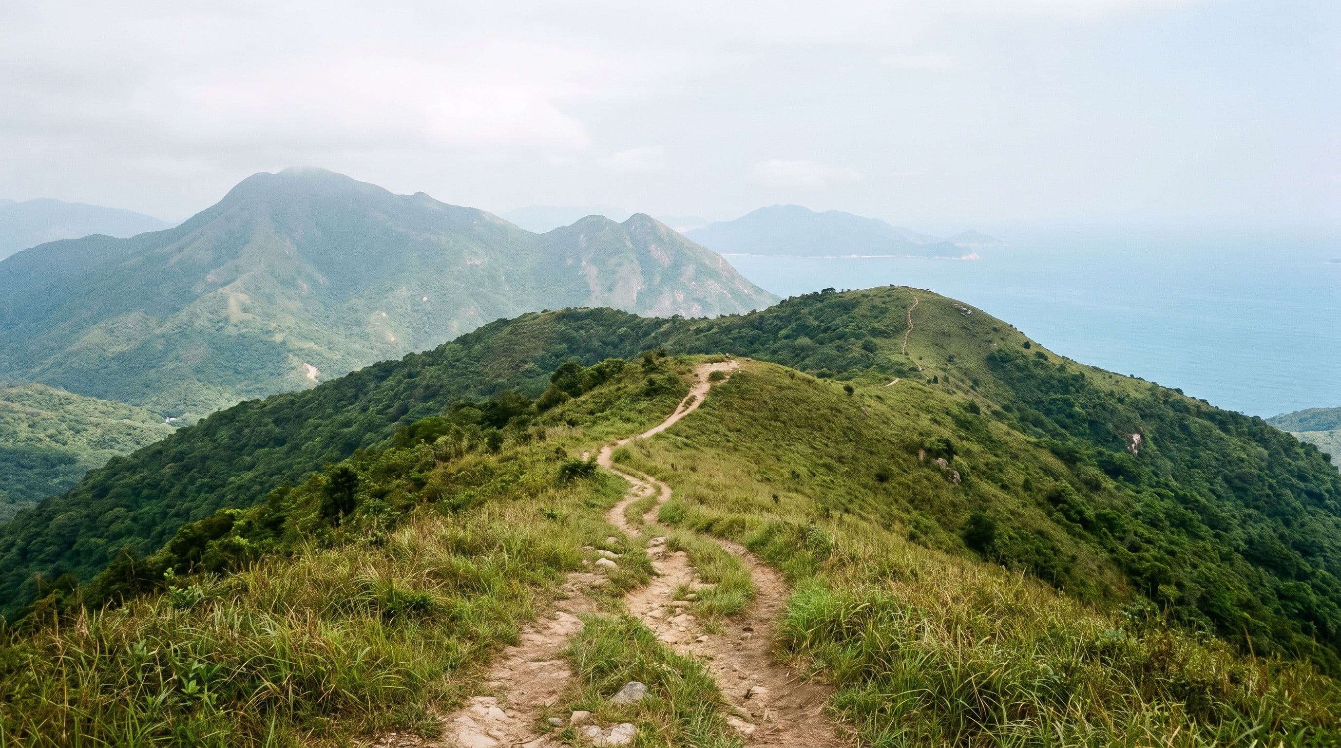
Dragon's Back shows up on every list of the best hiking trails in Hong Kong with a view, and it earns the spot. It's also the one every tour group, Instagram account, and weekend crowd already knows about. If you've done it, or you just want a ridge to yourself, the city has a lot more going on than one coastal trail on the south side of Hong Kong Island.
We've already written full guides to four of the city's best view-hikes: Dragon's Back itself, Lion Rock, Lantau Peak at sunrise, and the exposed scramble up Sharp Peak. This is the next tier down: five more trails, all with a genuine payoff view, none of them requiring a guide.
Tai Mo Shan: Hong Kong's highest point
Tai Mo Shan is the tallest mountain in Hong Kong, at just under 1,000 metres, in the New Territories. Most people start from Tsuen Kam Au or the Duen Kee Tea House and walk up a paved access road for most of the climb, which makes the summit more approachable than the elevation suggests, though a proper route down through the surrounding trails still makes it a full-day outing.
Because it's the highest point in the territory, the summit can sit in cloud when the rest of the city is clear. Check the forecast before committing a full day to it: on a clear day you get views down over the New Territories and its reservoirs, and on a bad one you get white.
Violet Hill: the view over Repulse Bay
Violet Hill sits above Wong Nai Chung Reservoir on the south side of Hong Kong Island, an area most tourists only see from a taxi window on the way to Repulse Bay. It's a steady 430-metre ascent from the reservoir, and from the top you get Tai Tam Reservoir on one side and the Stanley Peninsula and Repulse Bay coastline on the other.
If Violet Hill alone isn't enough, the connecting ridge to the neighbouring Twin Peaks (locally nicknamed "the Terrible Twins") adds roughly 1,200 steps of up-and-down scrambling. That combined route is a genuinely hard add-on, not a stroll, so treat Violet Hill as the standalone hike and the Twins as the version for people who already hike regularly.
Pat Sin Leng: the ridge that looks like Hawaii
Pat Sin Leng is a 10km ridge trail in the north-eastern New Territories, near Plover Cove, with around 856 metres of cumulative elevation gain across a run of stair-heavy climbs. It's not an easy walk, but the reward is a ridge-line view that hiking blogs regularly compare to Hawaii: green, sharply folded hills dropping toward the reservoir and the sea.
It's a one-way traverse, not a there-and-back, so check a map for your preferred finishing point before you start rather than discovering it on the trail.
Buffalo Hill: Sai Kung's ridge walk to the sea
Buffalo Hill sits in Ma On Shan Country Park above Shatin, and it's the pick if you want a ridge walk that ends at the water. From the Wong Nai Tau bus terminus, the trail climbs roughly 600 metres of grassy hillside before opening onto panoramic views across the Sai Kung Peninsula.
The usual route descends toward Hebe Haven (Pak Sha Wan), a small boat-filled bay where you can get a cold drink and a minibus back to Sai Kung town or the MTR. Budget around four hours end to end, more if you stop for the views as often as you should.
Ap Lei Chau to Ap Lei Pai: the lighthouse at the end of the rocks
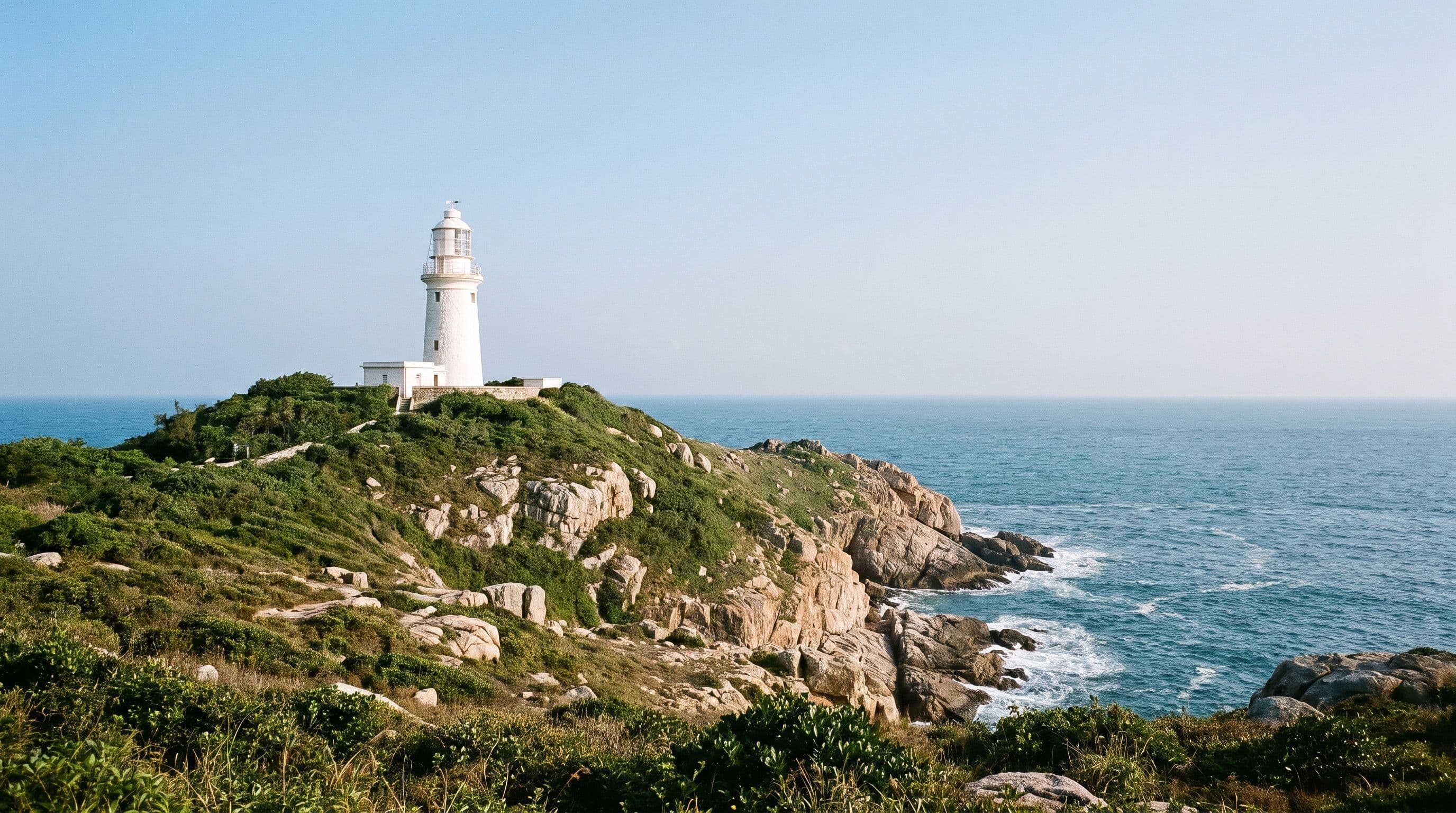
This one is short by distance (under 5km round trip) and starts somewhere almost nobody expects: Lei Tung MTR station on Ap Lei Chau, a short walk from a McDonald's. From there the trail follows the island's south-western coastline out to a rocky headland, finishing with a rope-assisted scramble down to Ap Lei Pai and the Mount Johnston lighthouse, past a hidden tide pool along the way.
Don't let the short distance fool you into treating it casually. There are no bail-out points once you're on the headland, the rocks get slick, and there's no shade anywhere on the route. Go early, bring more water than the distance suggests you need, and turn back if the rope section looks wet.
Quick answers
- What is the most scenic hike in Hong Kong? There's no single answer: Dragon's Back wins for accessibility and coastline, Pat Sin Leng wins for ridge drama, and Tai Mo Shan wins for sheer scale on a clear day. Pick based on how much climbing you want to do.
- Which side of Hong Kong has the best views? The New Territories trails here (Tai Mo Shan, Pat Sin Leng, Buffalo Hill) give you mountain-and-reservoir views with almost no city in frame. The Hong Kong Island trails (Violet Hill, Ap Lei Pai) mix hills with harbour and coastline.
- Are any of these easier than Dragon's Back? Ap Lei Chau to Ap Lei Pai is shorter in distance but has a genuinely awkward scramble at the end. None of the five here are as beginner-friendly as Dragon's Back's easy ridge walk, so treat this list as the step up once you've done that one.
- What's the best hiking trail app for Hong Kong? AllTrails has the most complete route coverage for these hikes, including offline maps, which matters once you're out of signal range on a ridge like Pat Sin Leng.