Devil's Peak Hike Hong Kong: The Short Climb to the Old Forts Above Lei Yue Mun
The Devil's Peak hike in Hong Kong is the one I send people to when they have a free half day, no boots, and no appetite for a long bus ride. The hill is 222 metres, the path is paved almost to the top, the start is a walk from Yau Tong MTR, and the summit is a ring of abandoned British gun batteries looking straight down the Lei Yue Mun channel into Victoria Harbour. As a loop from the station it is about 3.4 km, and I have never needed more than a couple of hours including a long sit at the top. Here is the route, the history that makes it more than a viewpoint, the one rough bit, and how to stretch it into a longer Wilson Trail day.
Devil's Peak hike in numbers
- Height: 222 metres, with the Gough Battery below the summit at 160 metres (Wikipedia).
- Distance: about 3.4 km and roughly 300 metres of climbing as a loop from Yau Tong station (For Something More).
- Time: about half an hour up from the trailhead. Allow 2 to 3 hours if you carry on over Black Hill (Laugh Travel Eat).
- Difficulty: easy. Laugh Travel Eat scores it 1.5 out of 5. The only rough ground is the final short path to the ruins, which the LCSD route notes call "rather rugged".
- Start: Yau Tong MTR (Kwun Tong and Tseung Kwan O lines), Exit A2. The trailhead is Wilson Trail distance post W020.
- Fare: HK$15.80 by adult Octopus from Central or Admiralty, HK$9.20 from Tsim Sha Tsui or Mong Kok (MTR open data).
Why there are forts on top
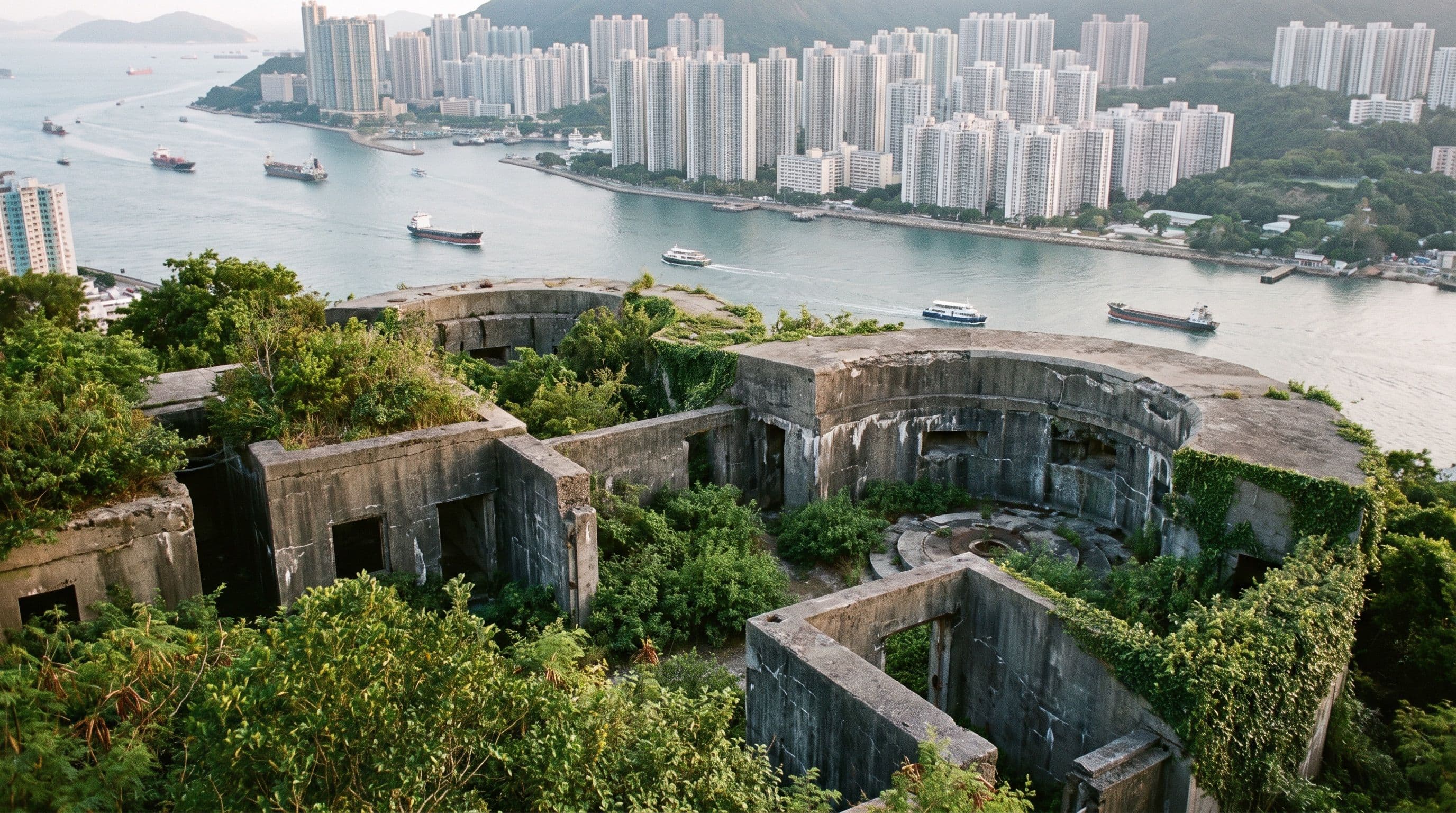
Lei Yue Mun is the narrow eastern entrance to Victoria Harbour, so whoever held the hill above it controlled who came in. In the 1800s that was pirates, which is where the name comes from. After Britain leased the New Territories in 1898 the army took the hill and built most of what you see between 1900 and 1914: the Gough Battery at 160 metres, the Pottinger Battery at 81 metres, and the redoubt on the summit, finished in 1914. Gough opened with two 6-inch guns and Pottinger carried 9.2-inch guns. Both lots were pulled out in 1936 and moved to Stanley Fort and to the Bokhara Battery at Cape D'Aguilar. In the Second World War the hill was garrisoned by the 5/7 Rajput Regiment and the 1st Mountain Battery of the Hong Kong Singapore Battalion of the Royal Artillery, and the whole site was listed as a Grade II historic building in December 2009. All of that is on the Wikipedia page for the peak. The Chinese name the LCSD uses, Pau Toi Shan, simply means Battery Hill.
None of it is restored or fenced. You walk into gun pits, peer into underground storerooms, and sit on walls the undergrowth has been reclaiming since the army left. That is the appeal.
Getting to the trailhead from Yau Tong MTR
This is the part people get wrong, because the trailhead is a residential walk away rather than a bus stop. Take Exit A2, go down the stairs and follow the road. At the bend, cross and keep left past the big footbridge, then past Lei Yue Mun Estate until you reach a purple building. Do not cross here. Go right, up the winding road opposite the purple building, which climbs for about 10 minutes past two pavilions. The trail sign is on your side of the road, and the start of Wilson Trail Section 3 is across the road and up the stairs. That description is from Laugh Travel Eat and it matched my own walk. The LCSD puts the approach at about 20 minutes from the station via Lei Yue Mun Road and the Ko Chiu Road roundabout, which is right if you count from the platform.
The landmark to aim for is the Tseung Kwan O Chinese Permanent Cemetery (Little Steps); the Wilson Trail guides call this stretch the cemetery access road.
The climb: Gough Battery, then the summit
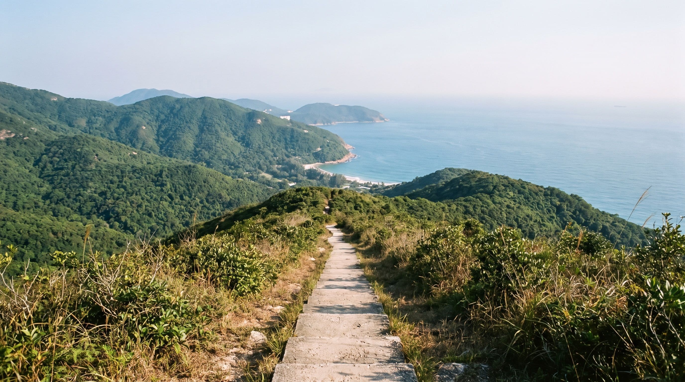
From the stairs the path is paved and gently graded, with the yellow Wilson Trail hiker markers and signposts giving distances. The first decision comes at a sign for "Devil's Peak Fortifications". Take it. A short walk right brings you to the Gough Battery: two gun pits and a set of underground storerooms, per Little Steps, with the circular shape of the emplacements still clear under the undergrowth. Then go back out the way you came and continue up.
The summit is a flight of stairs away. Laugh Travel Eat points out a rock about halfway up that makes the best photo stop on the hill, and I agree. At the top there is a pillar marking the peak, the remains of the 1914 redoubt around you, and the view the whole thing was built for: the Lei Yue Mun channel directly below, ships coming in from the east, Hong Kong Island on one side and Kowloon on the other, and Junk Bay and the towers of Tseung Kwan O behind you. For Something More rates the last stretch a scramble but still kid-friendly, and that is fair. It is a rough path rather than a paved one, nothing more.
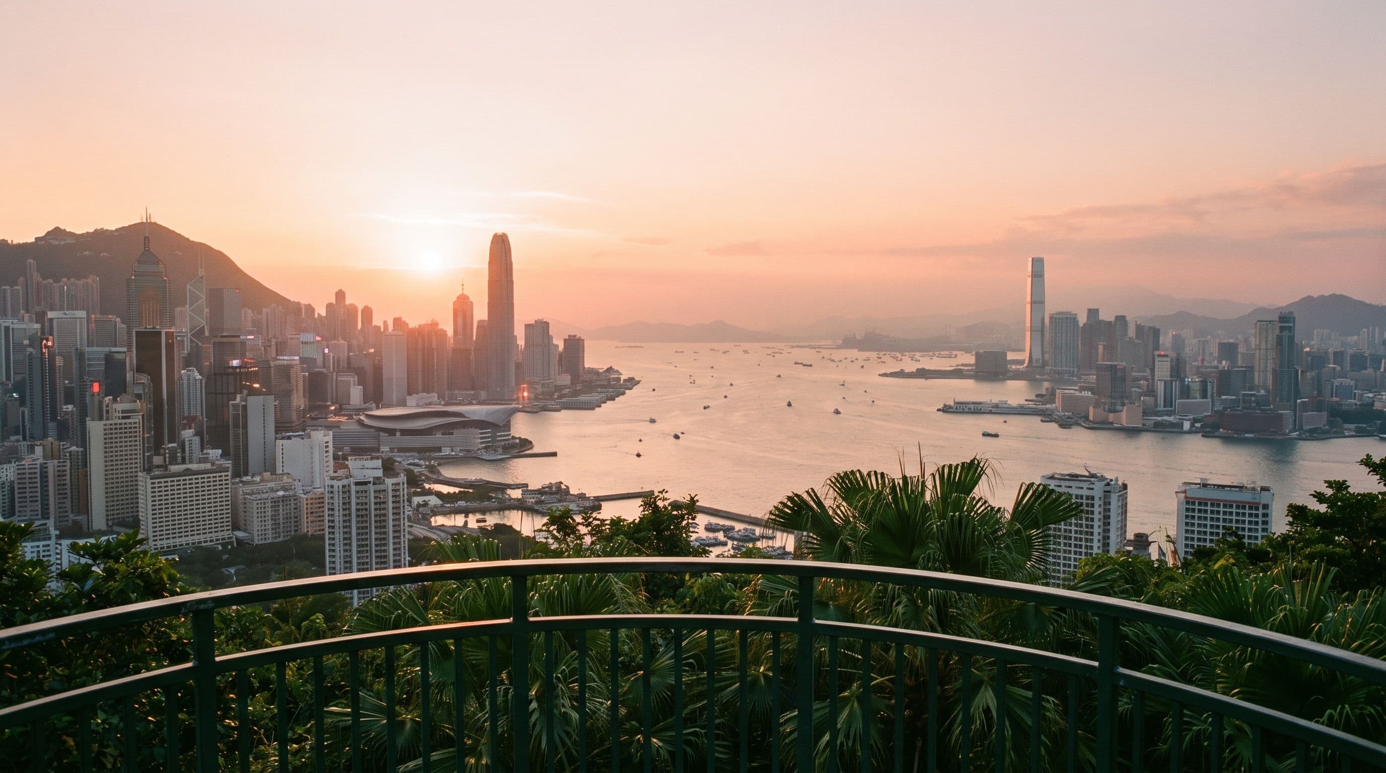
This is one of the few spots where you see the harbour end-on rather than side-on, which is why it is on my list of the best sunset spots in Hong Kong. If you go for the sunset, bring a torch for the stairs on the way down.
Two ways down
Back to Yau Tong (the short loop). Cross the top of the fortification and look for a small metal ladder leading to an earth path downhill, with the cemetery in full view. It drops to a flat platform where a signposted path leads back down to the purple building you passed on the way up. This is roughly the 3.4 km loop.
On to O King Road, or the full Wilson Trail Section 3. From the same platform the paved trail runs flat through a few metal gates and drops to O King Road, where you can walk back to Yau Tong. To continue, cross the road and pick up the trail opposite. The stairs steepen, then the path climbs to Black Hill at 304 metres, where the LCSD route notes a morning walkers' garden and a look over Tseung Kwan O. The summit is mostly tree-blocked, but a side path to the right past the triangulation station has a clear view of the new town. The trail rolls down to Ma Yau Tong Village and ends on Clear Water Bay Road at Tseng Lan Shue. The LCSD gives the whole route as about 7 km and about 4 hours, with KMB 91, 91M or 92 to Diamond Hill MTR at the end. Laugh Travel Eat took the 93K about 10 minutes to Kwun Tong instead. For context, this is Section 3 of a 78 km trail, and Section 1 is the Violet Hill and the Twins hike on the island, a very different proposition with its 1,200 steps.
What to bring
Running shoes are enough. For Something More's gear note is that the whole route is on paved paths and the only unpaved part is the last few minutes to the ruins. They recommend 2 litres of water per person in summer and 1 litre in winter, and note there is a fair amount of shade on the way up. Nothing on the hill sells anything, so carry what you need from the station.
If you have never hiked in Hong Kong this is a sensible first outing, in the same bracket as the trails in my guide to hiking in Hong Kong for beginners: short, paved, a real view, and public transport at both ends. For something longer with the same harbour-from-above payoff, Lion Rock looks down on Lei Yue Mun from the other side of Kowloon.
Lei Yue Mun afterwards
The fishing village at the foot of the hill is the natural finish. Lei Yue Mun on the Kowloon side is known for its seafood market and restaurants, and around the Sam Ka Tsuen typhoon shelter there is also a Tin Hau temple built in 1753, itself Grade II listed, the Grade III structures of the old quarry, and a small lighthouse (Wikipedia). Little Steps sums the village up as shops selling live seafood and restaurants to eat it in. Agree the price before anything is weighed.
Is the Devil's Peak hike worth it?
Yes, for the hour it costs. It will not replace Dragon's Back or Lantau Peak on anyone's list, and if you only have one hike in Hong Kong I would not spend it here. But for a short, free, MTR-accessible climb with real history at the top and the harbour laid out below, nothing in the city gives you more per step. It is also the rare hike that works in a hot month, because it is over before the heat gets serious.
Quick answers
How do I get to Devil's Peak? MTR to Yau Tong on the Kwun Tong or Tseung Kwan O line, Exit A2, then walk about 20 minutes up past Lei Yue Mun Estate and the winding road opposite the purple building to the Wilson Trail stairs.
How long does the Devil's Peak hike take? About 30 minutes up from the trailhead and around 2 hours for the loop back to the station with time at the forts (For Something More budgets 3 with breaks). Continuing over Black Hill to Tseng Lan Shue makes it about 7 km and up to 4 hours.
Is Devil's Peak an easy hike? Yes. It is paved from the stairs to just below the summit, and the only rough bit is the short path to the ruins. The family blogs that take young children up rate that final section a mild scramble, and I would agree.
Is it the hardest hike in Hong Kong? No, it is one of the easiest with a view. Hong Kong's hard hikes are the big climbs such as Lantau Peak, Sharp Peak and the Twins, not this 222 metre hill.
What is at the top of Devil's Peak? The remains of a 1914 redoubt, with the Gough Battery (two gun pits and storerooms, built from 1898) just below and the Pottinger Battery lower still. The guns were removed in 1936, and the site has been a Grade II historic building since 2009.